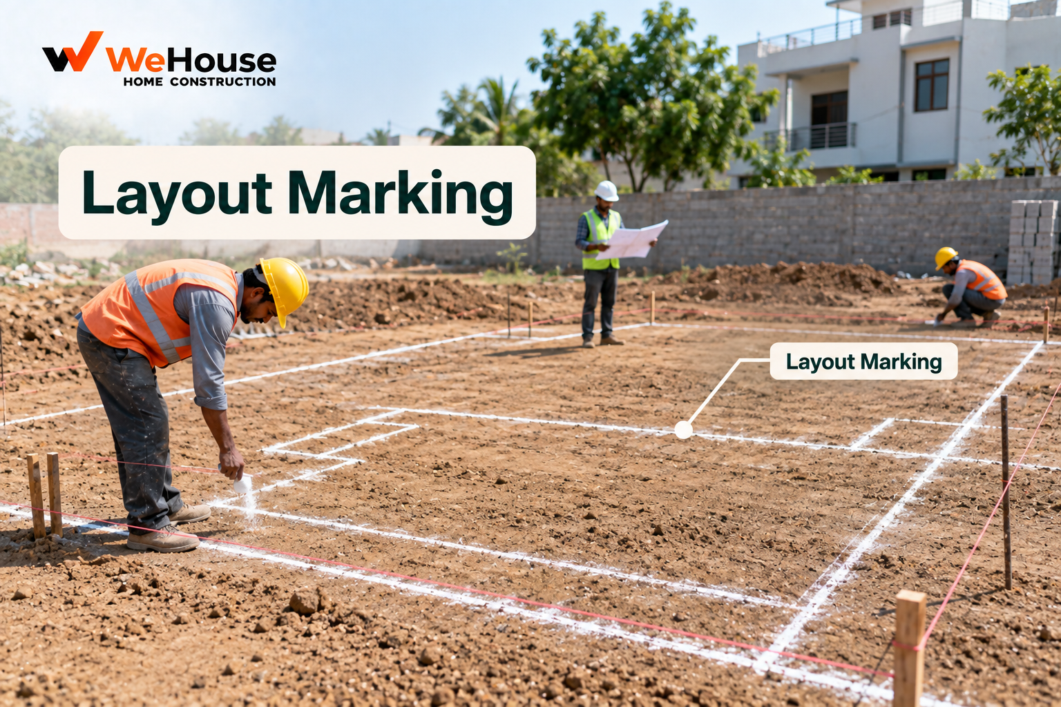
 What is layout marking?
Layout marking, also called setting out, is the process of transferring a building's exact position, dimensions, and internal structural grid — the location of every column, wall and boundary line — from the approved architectural and structural drawings onto the physical ground surface of the construction site. It is, quite literally, the first physical step of construction: before any excavation, digging or concrete work begins, the site must show, marked on the actual ground, exactly where the building will stand.
How is layout marking carried out?
For an ordinary residential project, layout marking is typically done using string lines stretched between wooden pegs or a temporary profile board (a horizontal board fixed to posts at each corner of the layout, allowing string lines to be repositioned and re-referenced accurately throughout the excavation and foundation stage without needing to remeasure from scratch each time). Key reference points — the plot boundary, the building's outer corners, and internal column or wall centre lines — are measured out from a fixed reference point on the site, commonly a boundary corner or an existing permanent feature, using a measuring tape, and checked for squareness using the 3-4-5 triangle method or a similar geometric check. For larger, more complex, or more precisely detailed projects, a total station or theodolite, an optical/electronic surveying instrument, is used instead, offering considerably greater accuracy over longer distances and more complex geometries than simple tape-and-string methods.
What is a benchmark, and why does layout marking need one?
A benchmark is a fixed, permanent reference point of known elevation established early in the layout marking process, from which every subsequent level measurement on the project — excavation depth, plinth level, floor levels, and so on — is measured throughout construction. Establishing an accurate benchmark at the outset, and physically protecting it (often as a small permanent concrete marker set outside the immediate construction zone, safe from disturbance) so it remains available and unchanged for the full duration of the project, is essential, since every subsequent level check ultimately traces back to it. A benchmark that is lost, damaged, or inaccurately established at the outset can introduce a systematic level error affecting the entire building.
Why is layout marking accuracy so consequential?
An error made during layout marking, however small it may seem at the time, propagates through every subsequent stage of construction, because excavation, footing placement, column positions, and every wall built above all reference back to the initially marked layout. Common consequences of an inaccurate layout include a building encroaching on a mandatory setback or, in a worse case, the plot boundary itself (both of which can jeopardise plan approval or occupancy certification), columns and walls that are out of square with one another (complicating every subsequent trade's work, from door and window fitting to tiling), and, in the most serious cases, a structural grid that does not match the structural engineer's design, requiring costly rework. Because correcting a layout error discovered after excavation or foundation work is dramatically more expensive and disruptive than catching it before digging even begins, a careful, verified layout marking check — ideally by the architect or structural engineer directly, not just the contractor's own team — is one of the highest-leverage inspection points in the entire construction sequence.
What is checked during a layout marking verification?
- Overall building dimensions against the approved plan, confirmed at multiple points, not just the overall outer boundary.
- Setback distances from the plot boundary on all sides, matching the approved plan's setback requirements.
- Squareness of the building's corners, checked using diagonal measurements or the 3-4-5 triangle method.
- Column and wall centre-line positions, matching the structural grid on the engineer's drawing.
- Benchmark level, established and clearly marked for reference throughout the project.