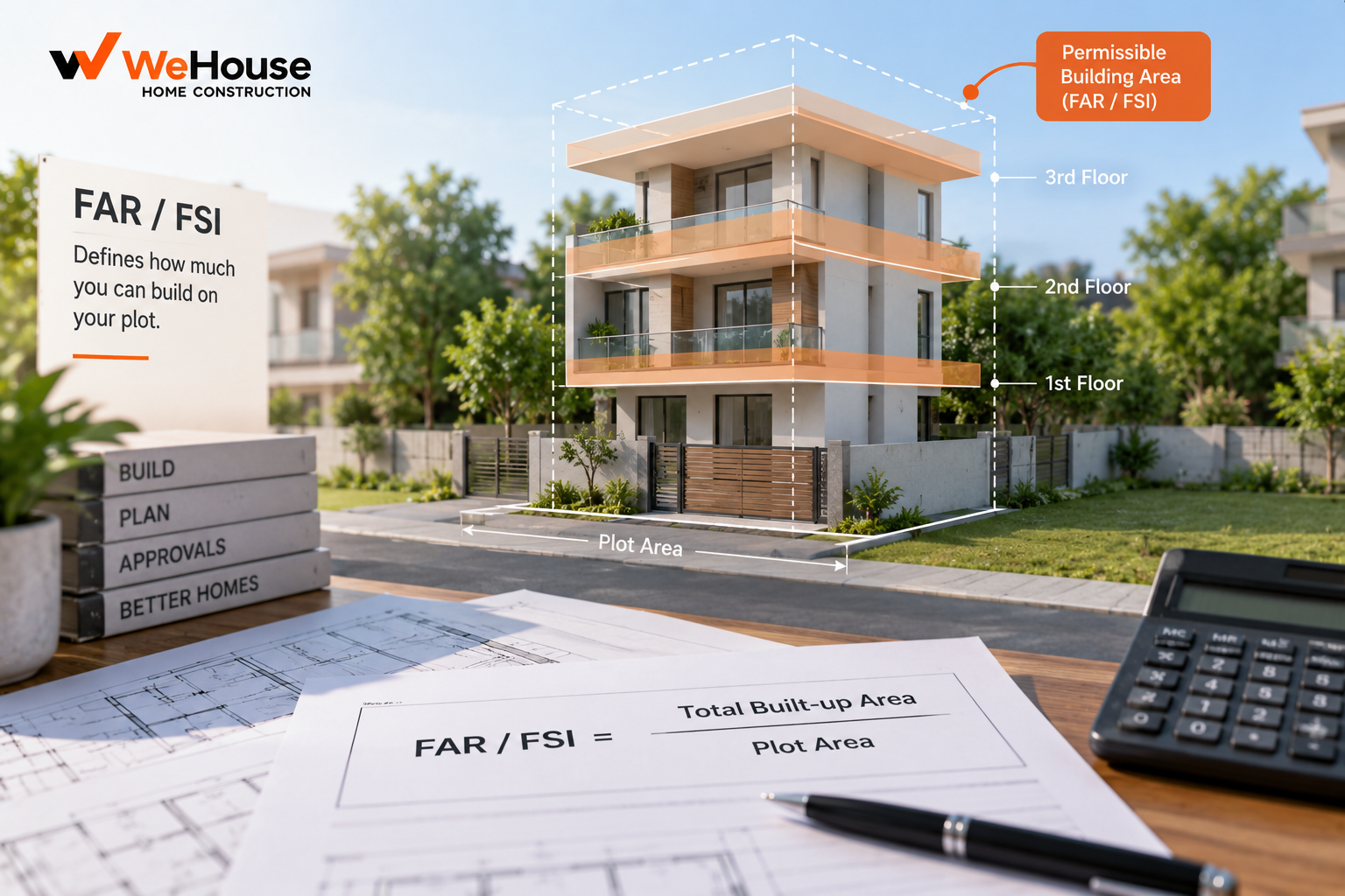
 What is FAR / FSI?
FAR (Floor Area Ratio) and FSI (Floor Space Index) refer to the same underlying concept, used by different Indian states with different terminology — FSI is more commonly used in Maharashtra and parts of western India, while FAR is more common in Delhi, several southern states, and elsewhere. Both express the ratio of a building's total permitted floor area, summed across every floor, to the area of the plot it sits on. An FSI or FAR of 1.5 on a 200 sq m plot means the total built-up area across all floors combined cannot exceed 300 sq m (1.5 x 200), regardless of how that area is distributed — a single floor covering the whole plot, or three floors each covering half the plot, could both, in principle, use up the same permitted FSI.
Why do cities regulate FAR/FSI?
FAR/FSI is one of the primary tools a city uses to control building density and manage the resulting load on infrastructure — roads, water supply, drainage, electricity and public services — in a given area. A higher FSI permits taller or more intensively built development on the same plot size, generating more usable floor area (and, for a developer, more saleable area) but also placing higher demand on surrounding infrastructure and typically requiring wider access roads and larger setbacks to remain workable. Cities generally set higher FSI in central, well-infrastructured zones with wide roads and good transit access, and lower FSI in peripheral, low-density or infrastructure-constrained zones.
How does FAR/FSI vary across Indian cities?
| Context | Typical range (illustrative, always confirm current local regulation) |
|---|---|
| Individual residential plot, low to mid-rise zone | Roughly 1.0-2.0 |
| High-density residential/mixed zone, transit-influence areas | Roughly 2.5-4.0, sometimes higher with premium FSI |
| With purchasable/premium FSI availed | Can exceed base entitlement by 20-50% or more, subject to payment and specific city rules |
These figures vary enormously by city, specific zone, road width fronting the plot, and periodic revisions to a city's development control regulations, so a current, plot-specific FAR/FSI figure from the relevant development authority or municipal corporation is essential before relying on any general range for an actual project.
What is premium or purchasable FSI?
Several Indian cities allow a developer to build beyond the base FSI entitlement for a plot by paying an additional premium, calculated as a percentage of the area's official land value (commonly the ready reckoner or guidance value) per additional square metre of built-up area sought. This mechanism, sometimes combined with TDR (Transferable Development Rights, where development potential from one plot, often reserved for public purpose, is transferred and used on another), lets a developer increase a project's built-up area beyond the plot's inherent base entitlement, subject to the city's specific rules, caps and eligibility conditions.
Does FAR/FSI include everything built on a plot?
Generally no — most city regulations exclude certain areas from the FAR/FSI calculation, such as basements used for parking, stilt floor parking, and in many cities, balconies up to a specified limit, service areas, or lift and staircase cores beyond a certain extent. The specific list of exclusions varies significantly by city and is defined in that city's development control regulations, which is why two buildings with the same nominal FAR/FSI can end up with quite different total constructed areas depending on how much of their design falls into locally exempted categories.
What happens if a building exceeds its permitted FAR/FSI?
Construction beyond the permitted FAR/FSI for a plot's zone is treated as unauthorised construction by the local development authority, and is not eligible for a sanctioned building plan or, for the excess portion, an occupancy certificate. Depending on the jurisdiction and circumstances, existing excess construction may face penalty charges, a formal regularisation process where the city periodically offers one, or in more serious cases, demolition of the unauthorised portion — making verification of a plot's actual permitted FAR/FSI, directly from the local development authority rather than from informal broker or developer claims, an important early step before committing to a plot purchase or design.